



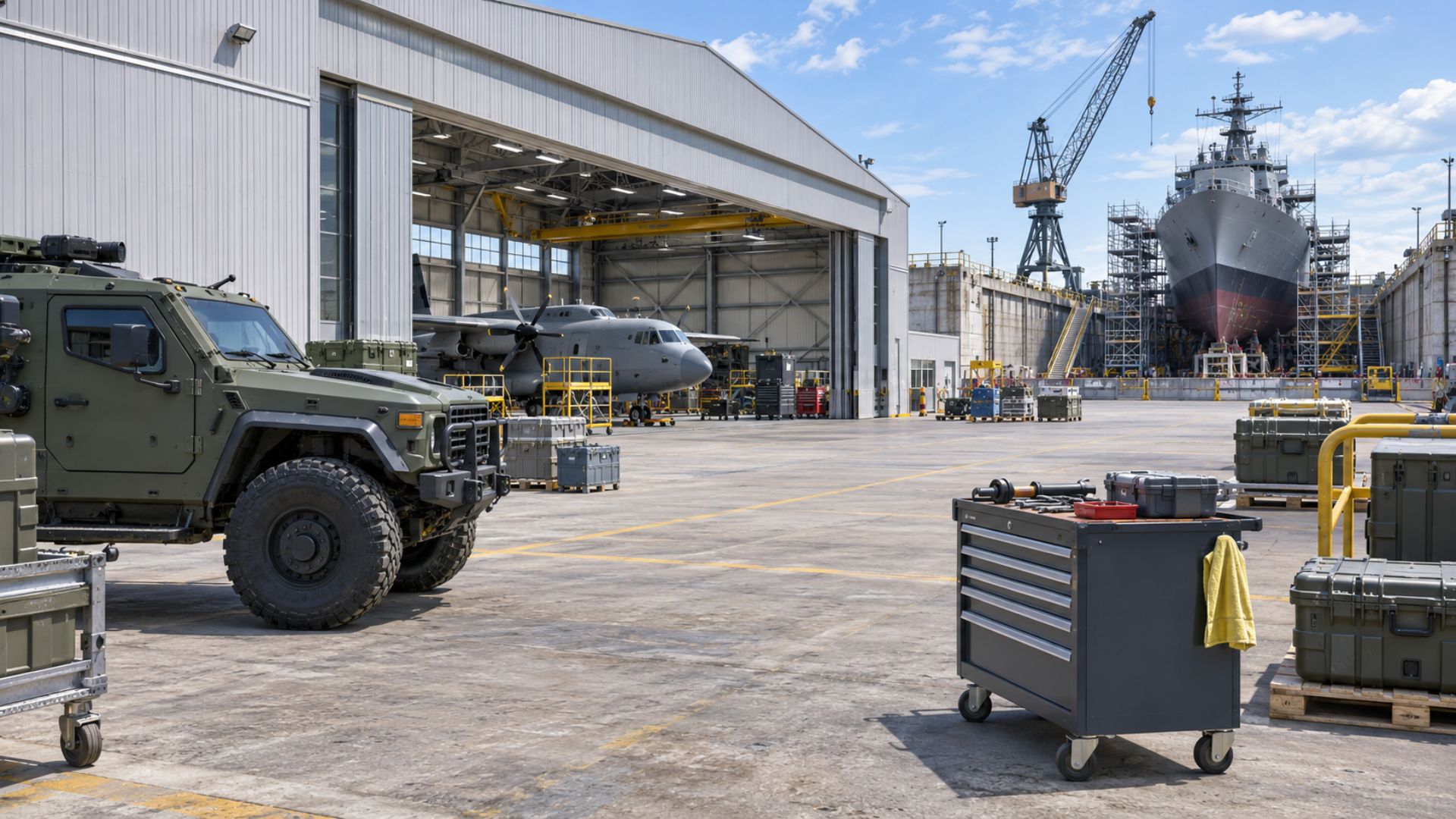
Somewhere on a large installation, a tool, a vehicle, or a pallet of high-value inventory is not where the records say it is. Finding it means walking the site. The system of record knows what the item is, but has no idea where it went.
Military asset tracking gets harder with every environment a defense organization adds: open yards, hardened buildings, aircraft, vessels, and classified spaces. This article covers why tracking built around one sensor type breaks down across those spaces, and what an environment-first approach looks like in practice. The approach comes from Thinaer, the Physical AI capture layer that deploys in classified bays, shipyards, and factory floors.
What Military Asset Tracking Actually Requires
The requirement is accountability across every kind of space a defense organization operates in. A single installation can include open yards, motor pools, warehouses, hangars, aircraft, vessels, and areas with strict limits on radio devices. Each space needs the same three answers: where the item is, what condition it is in, and who has it.
Asset classes behave differently too. Tools move constantly between users, vehicles and trailers cross large outdoor areas, and high-value inventory sits still until someone needs it. Aircraft and vessels bring work areas of their own.
That sounds manageable until an item crosses a boundary. A warehouse, a hardened structure, and a classified area each treat radio signals differently. For example, a signal that carries across an open yard may not pass through thick walls. A classified space may restrict what can operate at all. As a result, tracking every asset the same way works in one place and fails in the next.
For the policy side of accountability, see GAO review of DoD property accountability and the DoD accountable property instruction.
The Single-Technology Trap
Many vendors in this category build their product around one radio type, most often barcode or RFID (radio frequency identification). That works in the environment the product targets. Defense sites rarely offer only one environment.
Barcode scanning needs a person with line of sight to each label. Fixed RFID readers only see what passes through their read zones, so a wide footprint needs a lot of reader infrastructure. Degraded or contested connectivity makes every fixed-infrastructure assumption harder to keep. Each fix adds cost, and gaps remain between the zones.
A pilot in one building shows how a technology performs in that building. The harder test is the next building, with different construction, different rules, and different assets. A platform tied to one radio needs a second system there. A platform that carries several can change the mix. The base ends up adapting to the technology, with manual scans and spreadsheets covering what it misses.
Where This Shows Up in Practice
Tool control in aerospace and aviation is the clearest case. A missing tool is a foreign object debris (FOD) risk. The handoffs between the tool crib, the work area, and the aircraft are where tracking tends to lose the thread. Our post on tool tracking and FOD prevention covers it in detail.
Shipyards pair large steel structures with RF constraints, so a radio that performs well in a warehouse may struggle in a drydock.
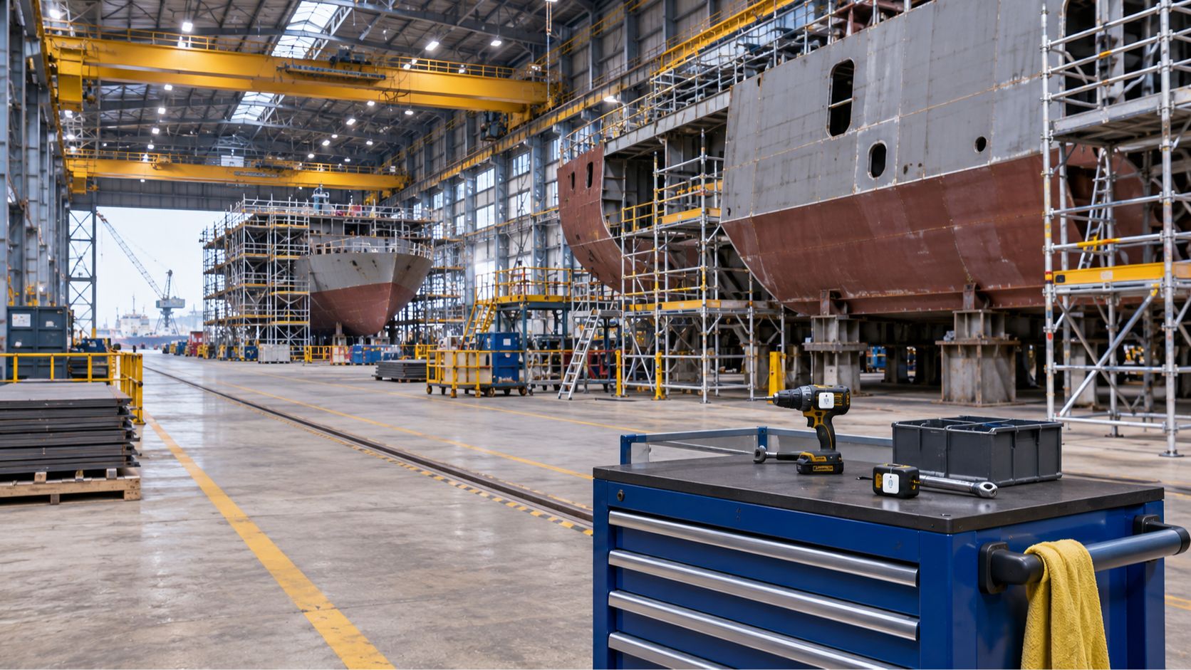
Classified bays add rules about which devices may operate inside the space at all. A tracking approach has to start from those rules. Thinaer’s early vision for a classified solution addressed this setting directly.
Military Base Asset Tracking Across Mixed Environments
A base is a collection of environments. Open yards sit beside hardened buildings, motor pools, warehouses, and sometimes classified zones. Each one calls for a different sensing approach, which is why military base asset tracking cannot rest on a single radio.
Thinaer carries every sensing technology and assesses the environment before choosing the mix. Your environment decides.
Bluetooth Low Energy (BLE) gives room and zone location at 3 to 10 feet, which suits hangars, depots, and tool cribs. Ultra-wideband (UWB) delivers sub-foot precision where it matters, such as an assembly bay or a drydock. Global Positioning System (GPS) covers outdoor assets. LoRaWAN (long-range wide-area network) reaches across wide campuses and ports. RFID handles checkpoints and inventory counts.
| Environment | What shapes the choice | Sensing that fits |
|---|---|---|
| Open yards and motor pools | Wide outdoor footprint | GPS, LoRaWAN |
| Hangars and depots | Indoor zones, frequent handoffs | BLE (3-10 ft), UWB where sub-foot is needed |
| Tool cribs and warehouses | Checkpoints and inventory counts | RFID, BLE |
| Shipyards and drydocks | Steel structures, RF constraints | UWB, BLE |
| Classified areas | Strict limits on what may operate | Patent-pending classified coverage |
| Ordnance environments | Electromagnetic radiation rules | HERO ZERO certified deployment |
Accuracy ranges matter when you set expectations. BLE tells you which room or zone an item is in. UWB can tell you which workstation. GPS works outdoors.
All of it feeds one platform, so a base gets a single picture of its assets instead of a separate system for each building.
What a Military Asset Management System Should Deliver
Tracking produces location data. A military asset management system has to make that data usable by operators and by the systems the organization already runs.
Operators need real-time visibility on day one. Sonar, Thinaer’s operational visibility application, provides live maps, geofencing, alerts, and time-out tracking, and Gartner has recognized it. For example, a geofence alert can flag a tool that leaves a controlled area. Time-out tracking can flag a tool that stays out too long. Existing tool control programs stay in place, including shadow boards, inventories, and lost tool procedures, with location data and audit evidence alongside them.
The data also has to reach the systems of record. Thinaer delivers it through standard protocols, including MQTT and REST, to the systems a base or Defense Industrial Base (DIB) organization already runs. Those include the manufacturing execution system (MES), enterprise resource planning (ERP) system, and computerized maintenance management system (CMMS). Existing systems stay in place.
Ownership matters as much as delivery. The customer owns the data and runs it under its own identity and access management (IAM), in its own cloud. For classified and DIB programs, the customer keeps control of its own compliance posture.
Structured data from the start also means any analytics tool or model can use it. AI runs on what we capture, and any cloud or model can sit on top. For a wider look at the criteria buyers weigh, see our guide to evaluating secure platforms for defense and aerospace.
Certifications and Compliance That Matter
Credentials matter in defense because the environments carry real restrictions. Thinaer holds patent-pending coverage for classified areas, HERO ZERO certification for ordnance environments, and approval from the Defense Information Systems Agency (DISA). Thinaer states these as credentials. Each customer maintains its own compliance posture. An ordnance area or a classified bay also limits which vendors can deploy there at all.
Those credentials sit alongside deployment scale: 160,000+ sensors across 33 locations and more than 12 million square feet, with over 10 million triggered events in 2025.
Getting Started: What to Ask Before You Deploy
These five questions settle most of an evaluation before a pilot begins.
- Does the vendor support more than one sensor type, and will it recommend the mix for each of your environments?
- Can it operate in your classified, ordnance, or contested areas, and which credentials back that up?
- Does your data stay inside your environment, under your own identity and access management?
- Does it feed the MES, ERP, and CMMS you already run, or ask you to replace them?
- Does it lock your data into a proprietary system?
Ask any vendor to walk through the sensing mix it would use in each of your environments and explain the choice for each space. The answers show how much of the plan comes from your site and how much from the vendor’s one product.
Deployment support matters here too. Thinaer offers full service, on-site project management, or remote assist, depending on what a facility’s access controls allow. Some programs cannot accommodate an outside team, so the deployment model has to adapt to the facility. Start with one building and one asset class, then extend the mix to the next space. Each addition reuses the same platform, so the next building changes the sensing mix and leaves the data flow alone.
FAQ
What is a military asset?
A military asset is any equipment, vehicle, aircraft, vessel, tool, or inventory that a defense organization owns or controls and must account for. Military asset management is the practice of knowing where each one is, what condition it is in, and who is responsible for it.
Does military asset management replace my ERP?
An asset management system complements your ERP by feeding it accurate location and status data.
What technology is used for military asset tracking?
The answer depends on the environment. BLE, RFID, UWB, and GPS all appear in defense deployments, and LoRaWAN covers long-range needs across wide sites. Thinaer carries 40+ sensor types and matches the mix to each space.
Can asset tracking work in classified environments?
Yes. Thinaer holds patent-pending coverage for classified areas and has completed DISA-approved deployments.
Your Environment Decides
Military asset tracking works when the technology follows the environment. A hangar, a classified bay, and a shipyard drydock each need a different sensing approach. One platform can carry all of them. Thinaer captures the data in each of those spaces and delivers it in Sonar and to the systems you already use.
To see how real-time visibility works across your own environments, talk with the Thinaer team about a Sonar walkthrough. Physical AI starts here.